SOUTH CANYON TRAILS
The South Canyon Trail System has 8.3 miles/13.3 km of recently completed single track with more trails planned for the future. These trails have been designed specifically for mountain biking and offer a chance to catch-some-air on optional features. Occasional steeper grunts will challenge beginner riders. Above the lower exit of the descending-only Lightning Bug Trail, Tramway switches to climbing focused, with less two-way traffic to interrupt your ride. With that in mind, downhill riders still need to yield to climbing traffic. Hiking is only allowed on non-downhill specific trails. Trails are marked and listed with direction of permited travel.
- South Canyon Trails: Tramway Trail, Lightning Bug, Coal Camp
- Future South Canyon Trails: Alpine Slide, Red Onion, Gem Trail, Horse Mountain
The South Canyon trail system consists of four trails: Tramway Trail, Lightning Bug, Coal Camp Trail, Lower Coal Camp Descent
• Uses: Mountain biking, hiking allowed on non-downhill specific trails
• Length: 3.2 miles / 5.15 km
• Ability Rating: Easy to Moderate (with optional jumps)
• No Dogs are allowed
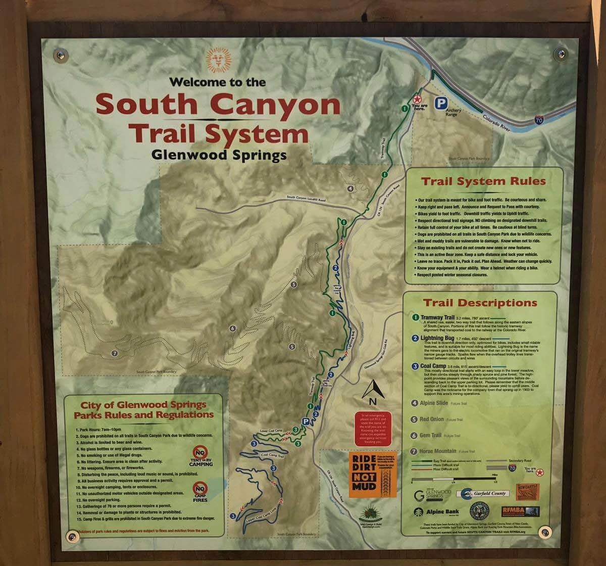
From Glenwood Springs, head West on I-70 for 3 miles/4.8 km to the next exit (111). Go under the interstate and take a left on Hwy 134 that runs along the river, heading back towards Glenwood Springs. At 0.3 miles you cross a bridge over the Colorado River. Parking is on the left and trailhead is on the right just beyond the vehicle bridge. There is a newly constructed bike bridge and informational kiosk with map at the bottom of the Tramway Trail. These trails are new and thus are not yet listed on online ‘topo’ maps. Therefore, it’s wise to snap a photo of the kiosk map before your ride.
Please follow all posted rules and most importantly – have fun!
- Trail system is meant for bike and foot traffic. Be courteous and share.
- Keep right and pass left. Announce and Request to Pass with courtesy.
- Bikes yield to foot traffic. Downhill traffic yields to Uphill traffic.
- Respect directional trail signage. NO climbing on designated downhill trails.
- Retain full control of your bike at all times. Be cautious at blind turns.
- Dogs are prohibited on all trails in South Canyon Park due to wildlife concerns.
- Wet and muddy trails are vulnerable to damage. Know when not to ride.
- Stay on existing trails and do not create new ones or new features.
- This is an active Bear zone. Keep safe distance and lock your vehicle.
- Leave no trace. Pack it in, Pack it out. Plan Ahead. Weather can change quickly.
- Know your equipment & your ability. Wear a helmet when riding a bike.
- Respect posted winter seasonal closures.
TRAMWAY TRAIL
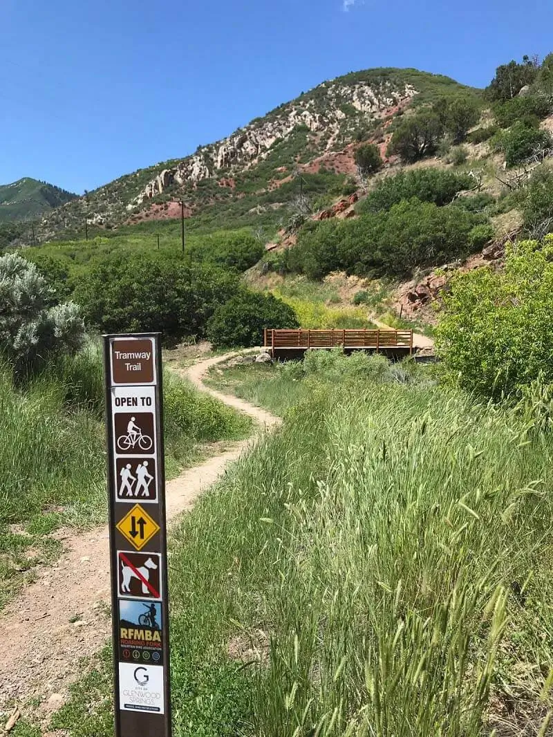
A shared use, easier, two-way trail that follows along the eastern slope of South Canyon. Portions of this trail follow the historic tramway alignment that transported coal to the railway at the Colorado River.
This climbing-focused trail brings you from the lower trailhead to an upper parking area, the top of Lightning Bug, and the start of the Coal Camp loop.
The bridge just passed the lower trailhead was completed in the Summer of 2018 and is ready for riders! There is also a kiosk with map and trail info near the new bridge.

LIGHTNING BUG TRAIL
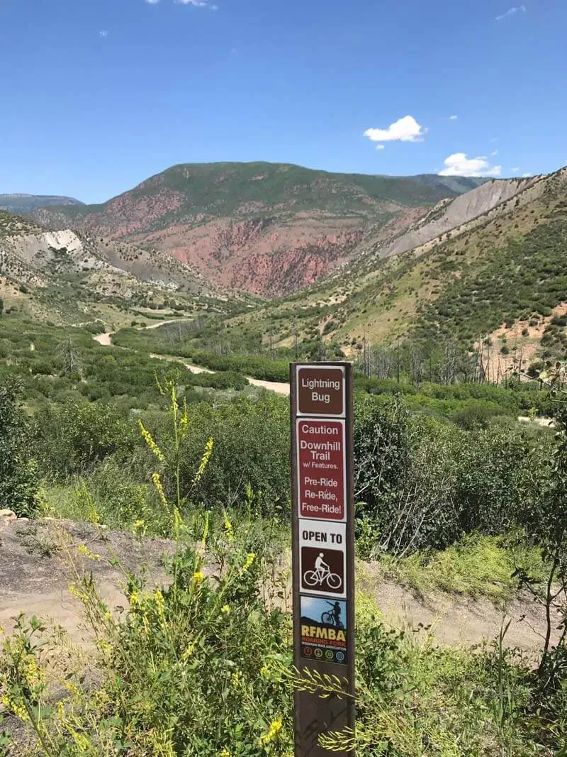
Lightning Bug is a fast (downhill direction only) and fun flow trail that was definitely built & designed for mountain biking! It is suitable for most riding abilities.
This trail drops down from the upper parking area and reconnects with the Tramway Trail just above this South Canyon landfill entrance road. Lightning bug has many optional features, please pre-ride before attempting features!

COAL CAMP TRAIL
3.6 Miles/ 5.7 km: 915′ ascent/descent
This is a fun, mostly directional loop with fantastic views of the Flattops to the north when you reach the top.
It starts with an easy loop in the lower meadows, but then climbs steeply through a shady spruce and pine forest. Please remember that the middle section of Coal Camp is bi-directional, please yield to uphill users.
Lower Coal Camp Descent
.4 Miles / 643 m is a short flow trial that brings you back down to the upper trailhead and the top of Tramway Trail and Lightning Bug.
MORE MOUNTAIN BIKING TRAILS

